Safety-First Mindset: Pilots with 30+ years of flight experience with deep risk management awareness
Regulatory Expertise: Annual updates of State, Federal, and Local regulations pertaining to flight and construction-related disciplines
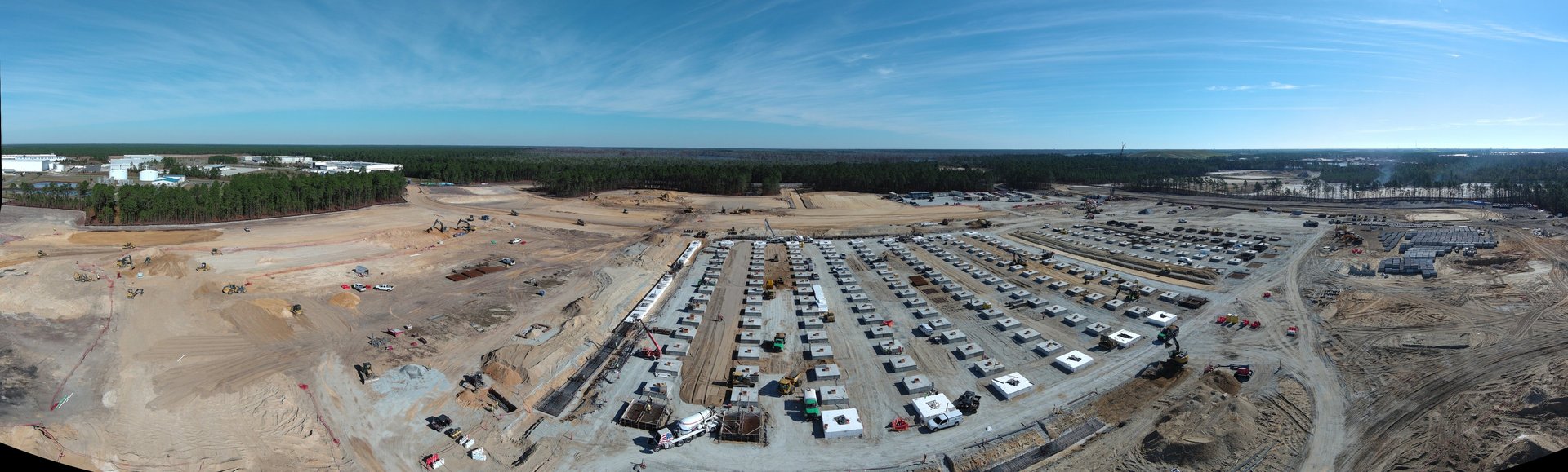
Rapid Deployment: Local to Brunswick County, with service radius covering Wilmington and Myrtle Beach
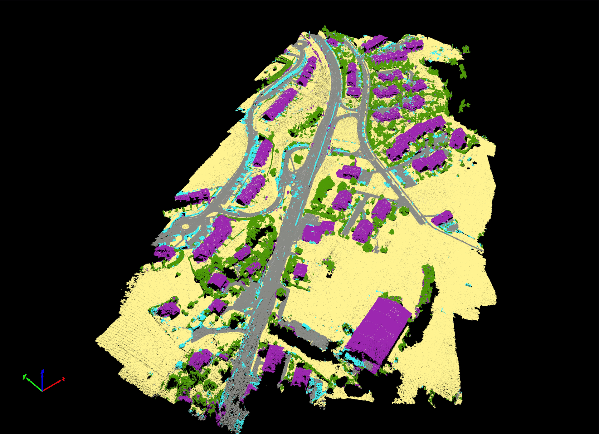
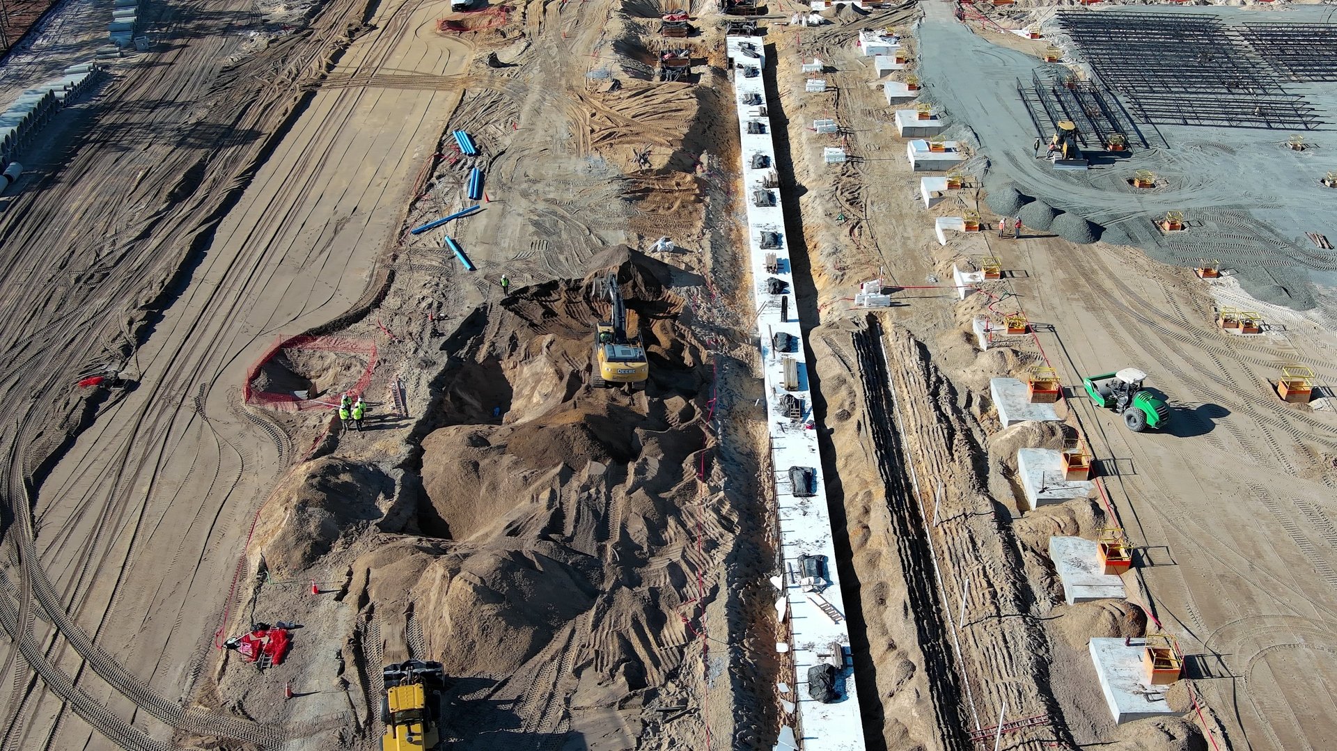
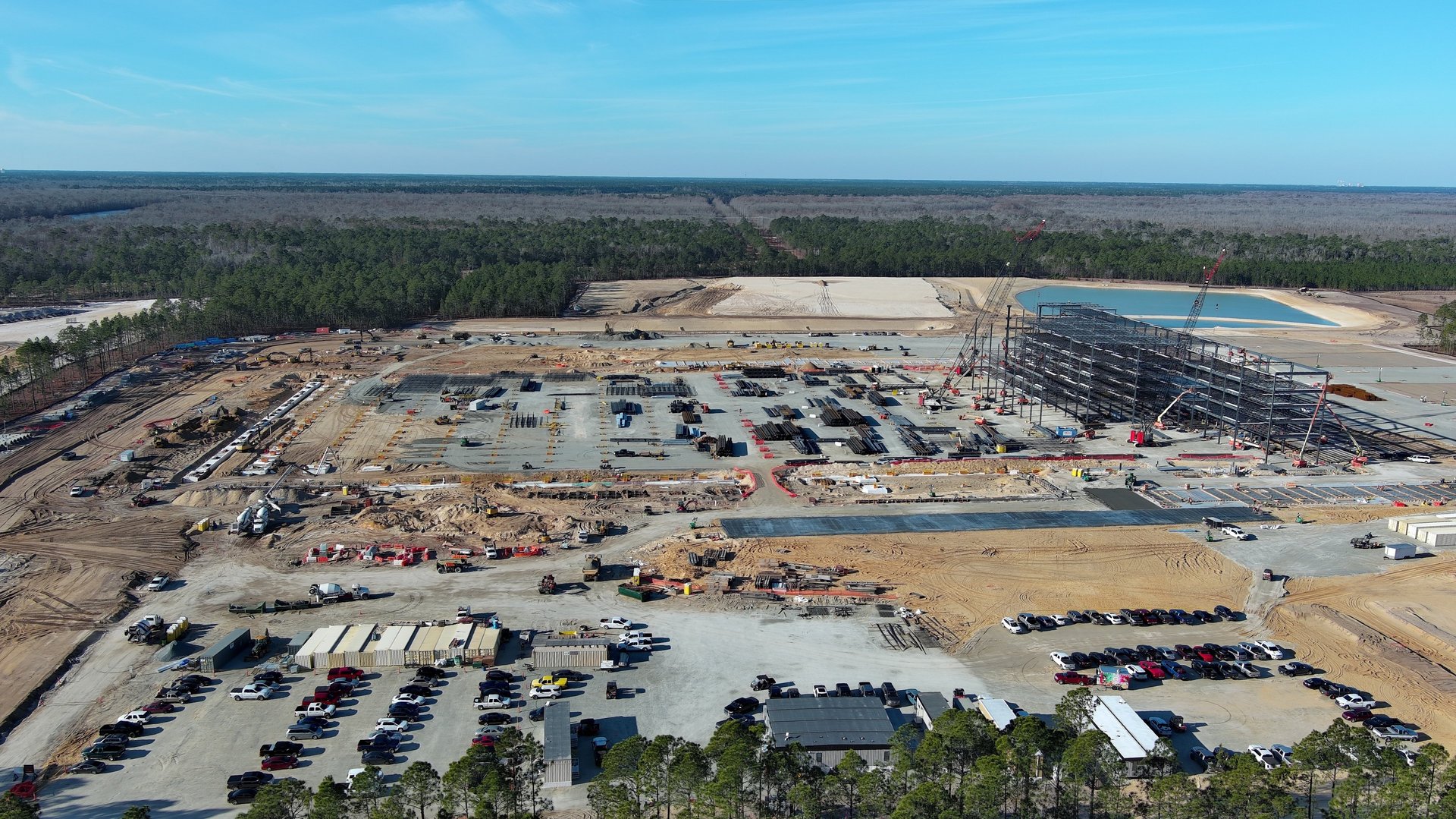
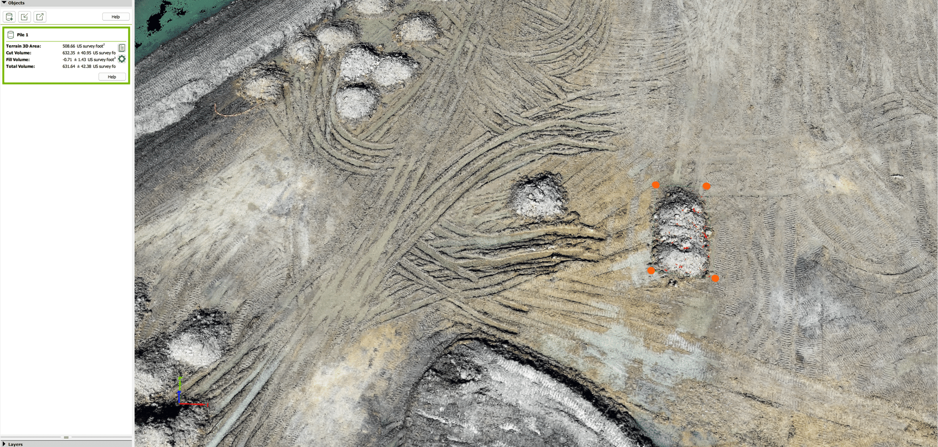
Data-Driven Deliverables: GIS-ready outputs tailored to engineering and construction workflows